Seattle is surrounded by water on three sides. Add to that the fact that a lot of the rest of it goes up and down, and you get some pretty steep hills. The silver lining is the views from the top of some of those hills.
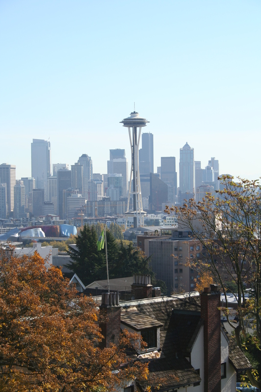
Kerry Park is one of those iconic places that affords a panoramic view of Elliot Bay, Seattle, and Puget Sound. Go to Google Maps to see some of the other pictures people have taken from the scenic viewpoint at the top of the park, but herein are my own humble efforts.
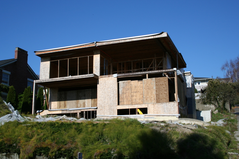
This first shot is taken on the way up the hill towards Kerry Par, and is of a lot that was scraped in order to build a new house. Unfortunately some kind of zoning, building code violation or petty bit of city tyranny stopped the construction dead in its tracks.
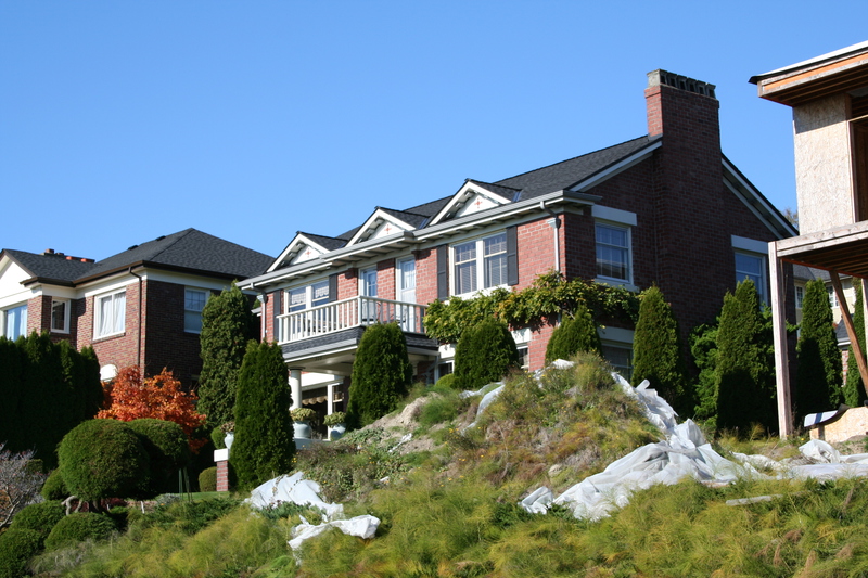
This is a shot of the house just to the left of the above. I leave you to guess at just how much such a house costs, and what it does to the value of same when that scraped lot is left incomplete, right next door.
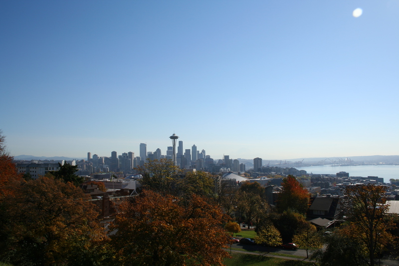
OK, here's my first shot from the upper part of Kerry Park. Kerry Park is terraced into the side of the hill, with the lower park being a very compact playing field and playground. The lower part is separate from the upper park by a very steep hill that takes a lot of maintenance to keep it from sliding into the lower park.
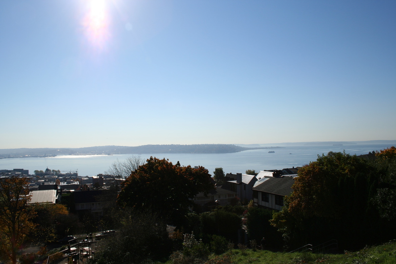
Note how low the sun is in the sky. These shots were taken during one of those very rare days in the fall when the sky was clear, thus the sun was low in the southern sky, making shooting very difficult.
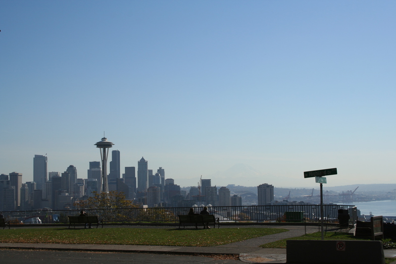
We're looking SSE here, and of course the Needle is in the center of the picture.
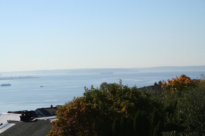
The next four pictures pan from left to right (from SSE to the SSW).
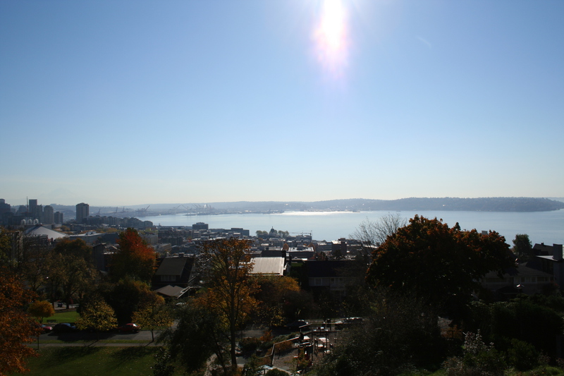
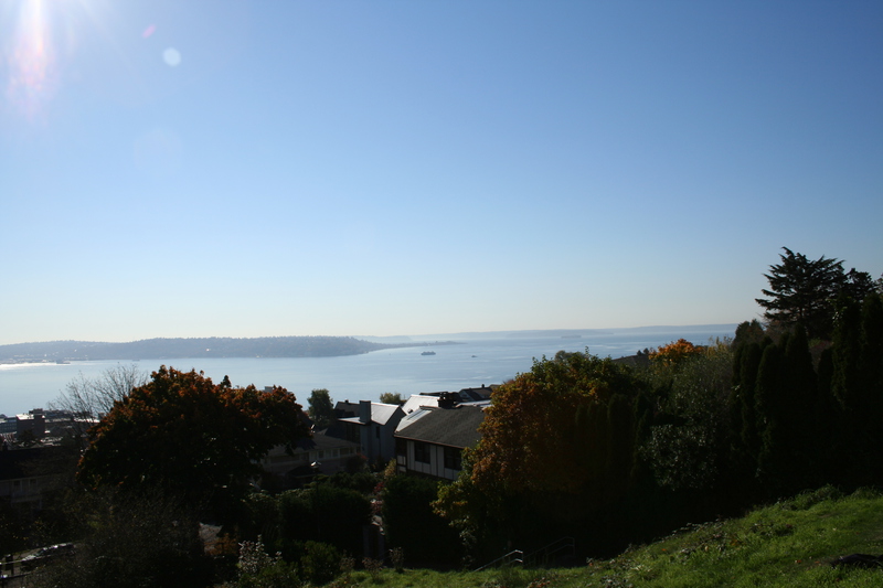
In this last one, you can see a ship out on the Sound, heading towards the Port of Tacoma.
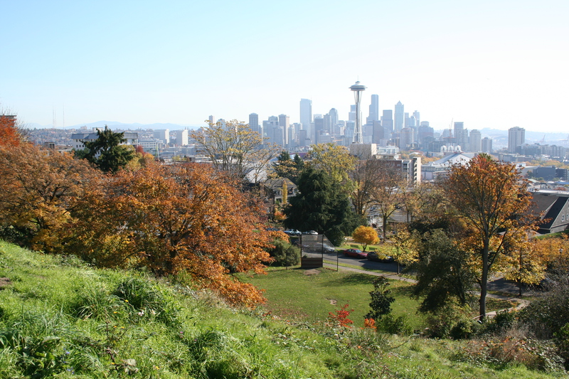
Another shot of City Center from the top of Kerry Park. As you can see, this shot was taken from the eastern side of the Park (from the parallax relative to the big skyscrapers behind the needle).
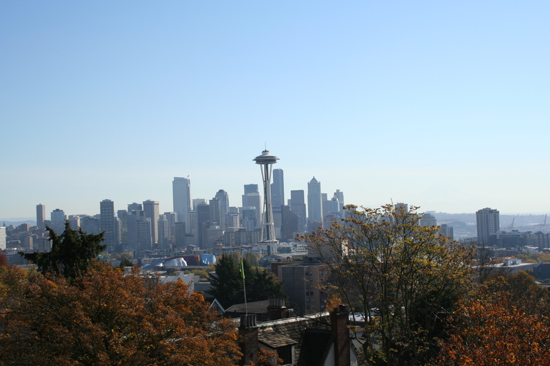
This shot zooms as much as my current lens will allow. If you look to the left, about the middle of the picture, you can see one of the buildings I have a picture of (up close) in City Center.
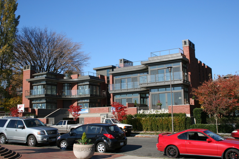
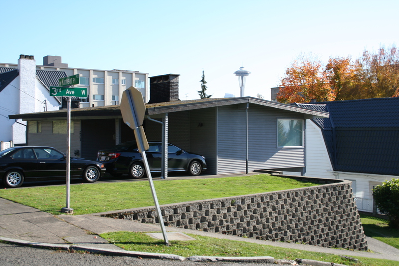
Some new "high density" housing going in across the street from Kerry Park overlook. Love all the windows! But I leave it to your imagination as to how much such places cost.
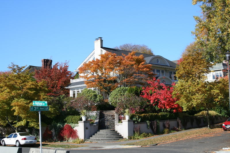
A more traditional house just across from the overlook.
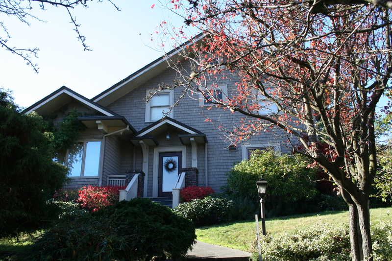
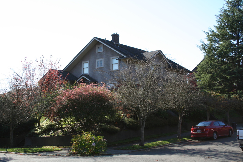
Rumour has it that these next two shots are of the house the producers chose to be the outside of "Meredith's House", but I can't confirm that. The parallax is close, but in the show, the shots are obviously taken from a helicopter. If I can confirm, I'll move the pictures to Grey's Anatomy Walking Tour of Seattle.
A shot of part of the scenic overlook at the top of Kerry Park.
This one shows part of the hill, and the ball field at the bottom of Kerry Park.
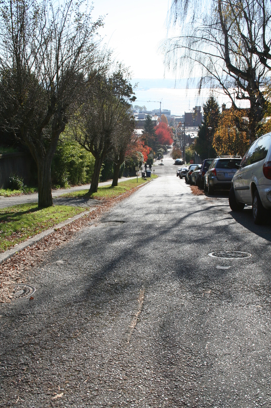
To climb to the top of Kerry Park, you go up Harrison to Third, turn North, then walk up until the street ends. Across the street, there is a stairway that runs up the hill on the west side of the Park. This stairway is steep, as you can see here.
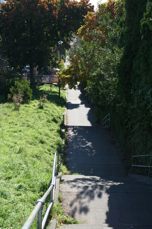
From the bottom of the stairs, looking back down the hill.
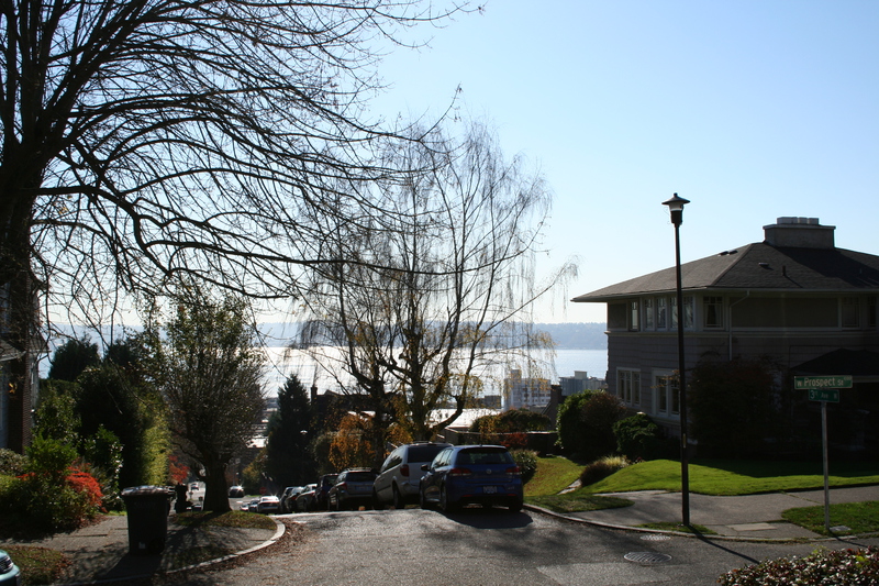
Of course, the entire climb is steep, as can be seen looking down the hill towards the bay. The climb starts at sea level, and in just a few blocks goes to nearly 300 feet above.
A better demonstration of how steep the hill is. If you want a lawn you won't fall off of, you have to terrace like crazy!
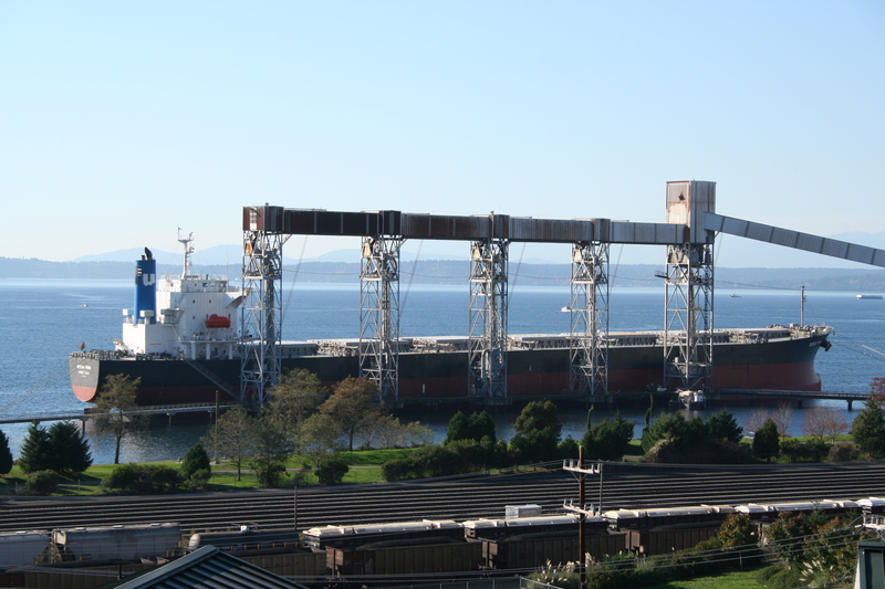
Wandering around the hill, I found a semi-hidden set of steps. If you take them all the way to the top, then follow a parking lot around the building next to those stairs, you find a perfect vantage point for taking shots of the ships at the grain loading dock from a higher altitude.
You can see closer shots of the dock, and a ship being loaded at that dock in Elliot Bay.
John Stevens
john at betelgeuse dot us